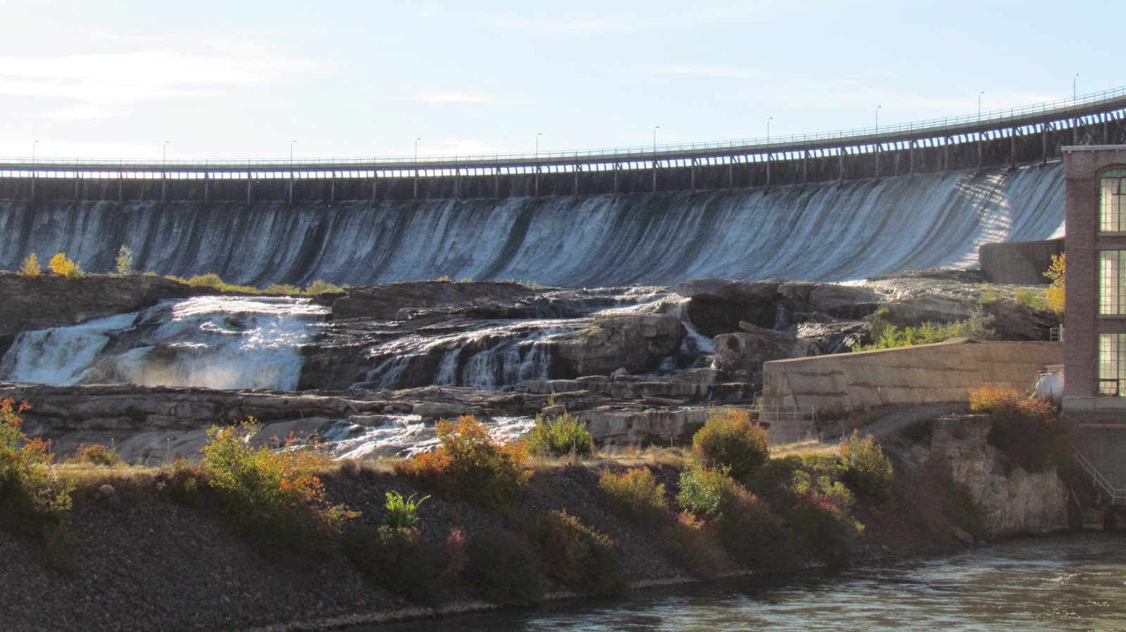
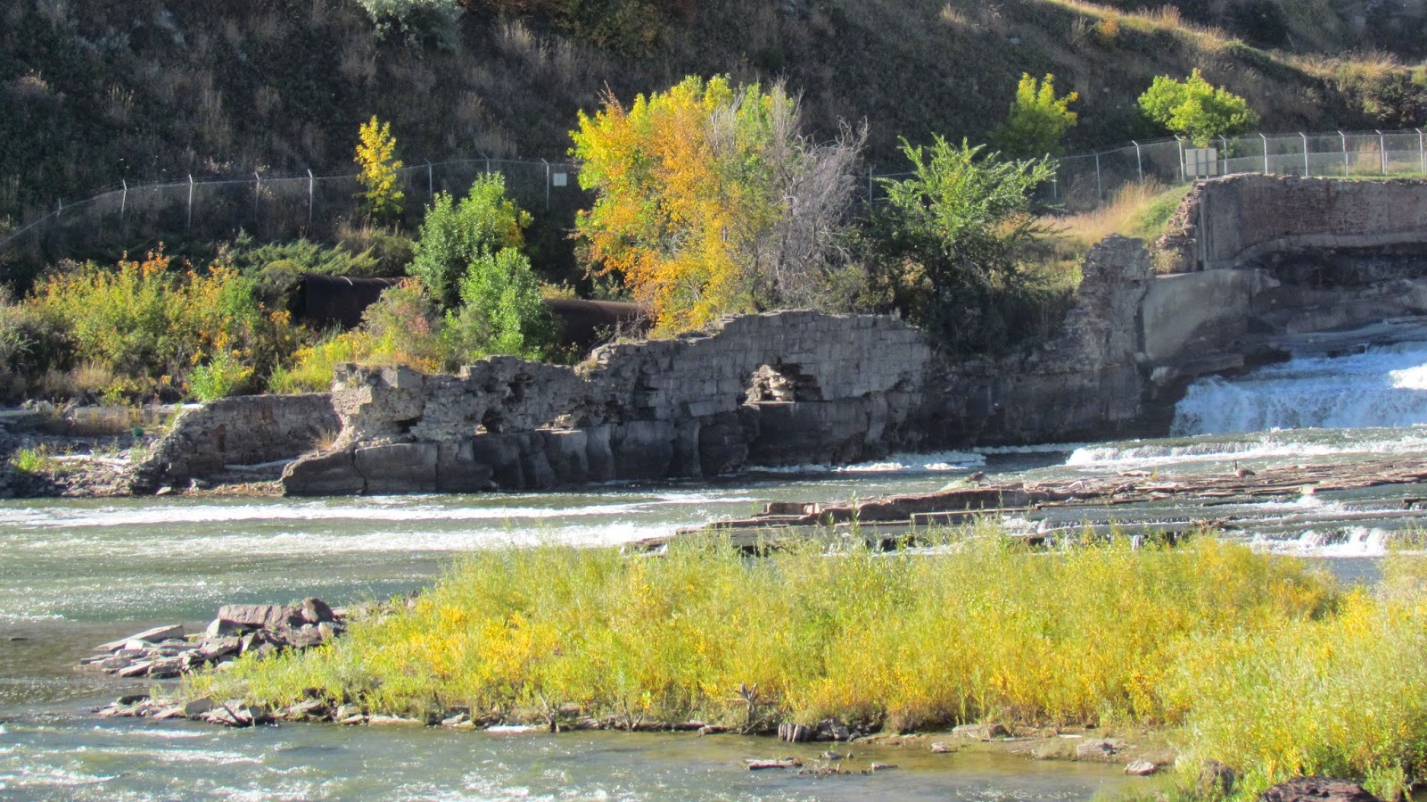
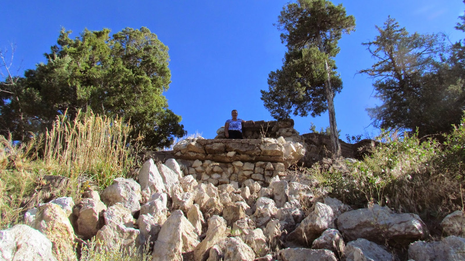
(Neil looking at the dam)
(Pretty neat how they built them on top of the falls
so they get more drop with less build
the river drops 550 feet over the 20 miles)
(a big tree)
(bridge to Ryan's Island...only open in the summer)
(more bridge)
(a nice lady offered to take our picture together)
(another view of the dam)
(the leaves were so pretty and so Maple like lol felt like at home)
We looked at the dam and then there was a cool walking trail we took, so much more interesting than just looking at something. I was impressed how much Neil was into hiking on these trails with me, we decided one day we are gonna go back and do the whole trail or maybe even participate in one of thier walk/runs they do throughout the year. Lots to see on the trail, including a rattlesnake, that was kinda a surprise, he coiled up and hissed at us...we walked around him.
(The trail sign)
(neat maps showing where all the trails and tourist lookouts are)
(Neil checking out the stone house)
(view down river)
(this tree didn't look very big till we were close to it)
(neat jutting out rock)
(Box Canyon releases into that grassy area when it rains lots)
(cool holes in the stones)
(water tower for those living by the dam)
(Ryan's Island from above, its too bad it was closed looked really nice and manicured)
(Neil at the edge of the cliff)
(the Dam from above)
(neat set of falls)
(Me on a cliff)
(Neil wondering why I am making him pose so much lol)
(Me on a rock)
(And I called Neil as he was walking through the gate)
After that there was still a little daylight and it was warm out so we headed out to the last dam of the 5, Morony Dam. It is cool how all of them are built differently. It got kinda dark before we left but we had to finish that part of the tour.
(the sign, I missed the one for Ryan's Dam)
(looking over it)
(the reservoir, I think it was the best reservoir we saw)
(The front of the dam from the side)
(the front farther away, it was the one we got the closest too)
On Sunday morning before we left, we headed out to see the other dams, they had to be driven to on the south side of the river. First we stopped Rainbow at it is the second dam down, It was rebuilt a few years ago because it killed too many fish going through it, now it has a long canal and kills less than 5% of the fish that go through it. Its kinda neat cause the falls are almost dry till the canal drops water back into the river.
(A railroad trestle)
(that we got to drive under :) )
(more signs)
(a list of all the falls and where they are)
(Lewis and |Clarks Portage trail)
(A view of the canal)
(the falls)
(still some water goes over)
(almost dry Missouri)
(a closer canal view)
(The whole front of the dam)
(A full river again)
Then we went to Black Eagle Dam which is right in town, but they have an island that you can walk around and so we did that too. Not as nice as Ryan's Island but open. Its the first in the string of dams.
(Monument where we were)
(info sign)
(How it all started)
The train bridge on the side)
(where the old hydro building was)
(Neil if front of the dam)
(more info signs)
(I loved this little fuzzy plant I so want one but we weren't allowed to take plants home)
(and its a good thing too cause its ugly when it grows its seed head)
(lots of flowing water)
(A Monarch landed right in front of us)
(Neil's choice to get his picture taken here)
(My pic in front of the water, I wish I'd pulled my shirt down,
men don't notice these things)
(Statues on the hill far far away)
(Canada Geese follow us everywhere lol)
(and a Pelican fishing)
(The hydro building now, behind a not in the ground fence)
(I had to climb the dry falls)
(it was a lot easier going up than coming down)
The third dam in the row, Cochrane Dam had no road to it and it was a 4 mile hike there so we are waiting for next trip and we will walk the whole way down.


2 comments:
Wow, that was wonderful and thank you for sharing. You both look like you had a wonderful time.
very cool! great pics, I had wondered that about Great Falls as well, but never investigated further. Thanks for the info
Post a Comment